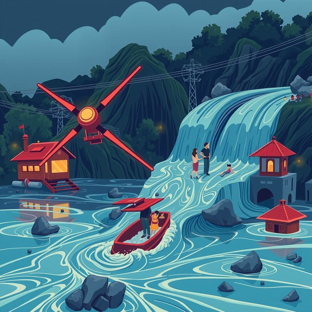
A landslide-triggered flood along the Nepal-Tibet border killed at least 160 people and left hundreds missing, exposing the lack of any system that could have warned residents before the surge hit. A massive rock-ice avalanche dammed the Lhende River, then burst, turning the valley into a death trap of “liquid concrete.”
How the disaster unfolded
Seismographs recorded a magnitude-4.4 tremor just before the flood, prompting early reports to blame an earthquake. The U.S. Geological Survey later showed that long-period seismic waves came from the landslide itself, not a tectonic shift. A senior researcher at a regional mountain-development centre explained that the avalanche buried part of the river, creating a natural dam. Water backed up behind the blockage until the dam gave way, unleashing a wall of mud, ice and water that swept away vehicles and multi-storey buildings in seconds.
Hydrologists noted a striking detail: no significant rainfall fell in the days before the event. Most flood-warning systems rely on rain gauges or satellite-based precipitation estimates. Without that trigger, those systems stay silent even as a catastrophic flood builds behind an unseen dam.
The warning-system gap
A dam-breach flood rushes through a valley in minutes, leaving little time to evacuate. Survivors who escaped climbed at least 20 feet above the riverbed; vehicles could not outrun the surge. Experts argue that the only realistic chance to save lives is to detect dam formation and imminent breach minutes—not hours—in advance.
Real-time river-level gauges spot a rising water column behind a blockage. Where a gauge can transmit data instantly, a 20- to 30-minute warning is technically possible. Yet the Himalayas remain sparsely instrumented; many tributaries lack permanent stations, and the rugged terrain makes installation and maintenance costly.
Climate-driven changes are making such events more frequent. Glacial melt, permafrost thaw and hotter heat waves destabilise slopes, turning rock-ice avalanches into a regular hazard. A similar glacial-lake outburst flood struck Nepal’s Rasuwa District in July 2025 after a lake in China’s Gyirong County burst, underscoring the trans-border nature of the risk.
Emerging sensor-and-AI solutions
Researchers are now weaving three strands of technology to fill the warning void:
- Distributed seismic and acoustic sensors. Small, low-power seismometers placed on slopes pick up the low-frequency vibrations of a landslide and distinguish them from tectonic quakes. When a network detects a sudden surge in energy, it flags a potential dam-forming event within seconds.
- River-stage monitoring using radar and ultrasonic probes. Mounted on bridges or riverbanks, these devices measure water height without contact. Wireless transmission lets a network of probes stream real-time water-level curves to a central hub.
- AI models that fuse sensor streams with satellite imagery. Machine-learning algorithms trained on past landslide and flood events recognise patterns—rapid surface deformation, changes in river colour, thermal signatures—that precede a dam breach. By ingesting data from ground sensors, weather satellites and synthetic-aperture radar (which sees through clouds), the models issue probabilistic alerts.
Pilot projects in other mountain regions have shown that a combined sensor-AI system can shave minutes off detection time, enough to trigger sirens, mobile alerts and the opening of emergency shelters. In Nepal, a handful of NGOs have begun testing low-cost seismic nodes on vulnerable slopes, but a coordinated national rollout remains absent.
Stakes for the region
- Human lives. Hundreds of families live in river valleys that could be cut off by a sudden dam. A timely warning could mean evacuation instead of being swept away.
- Cross-border water security. The Lhende River feeds larger basins that flow into India. An uncontrolled flood can damage downstream infrastructure, disrupt power generation and flood agricultural lands, amplifying the disaster beyond Nepal’s borders.
- Economic cost. Rebuilding roads, bridges and housing after a flood costs far more than installing a modest sensor network. The 2025 GLOF reconstruction expenses ran into tens of millions of dollars—a fraction of what a basic early-warning system would have required.
- Strategic stability. A landslide that mimics an earthquake complicates disaster response and strains emergency services already stretched by seismic events. Reliable detection helps authorities allocate resources more efficiently.
Barriers to deployment
Terrain poses the most obvious obstacle. Steep, remote slopes are hard to reach, and keeping sensors powered is a logistical nightmare. Solar panels work, but heavy snowfall and monsoon clouds cut their output. False alarms present another risk: a network that cries “danger” too often erodes public trust, leading people to ignore genuine warnings.
Data sharing also stalls progress. River-level information collected in one country can be vital for downstream neighbours, yet political sensitivities and technical incompatibilities limit real-time exchange. Building a regional data platform would require agreements on standards, encryption and responsibility for alerts.
Funding remains uncertain. Hardware costs for a seismic node or radar probe have dropped dramatically, but scaling a network across thousands of kilometres still demands substantial investment. International donors, development banks and private-sector partners are beginning to earmark climate-adaptation funds for such projects, but the disbursement process moves slowly.
What to watch next
- Field trials of integrated sensor-AI kits in Nepal’s most landslide-prone districts. Successful pilots could persuade the government to allocate budget for a national rollout.
- Cross-border data-sharing protocols between Nepal, India and China, especially for rivers that cross multiple jurisdictions. Early agreements could speed up alert dissemination during an event.
- Regulatory frameworks for public alerts. Defining who can issue a warning, through which channels, and how to verify AI-generated alerts will shape public response.
- Community-level training. Even the best technology fails if residents do not know how to act on an alert. Local drills, signage and education campaigns are essential complements to the hardware.
Takeaway
The Nepal flood proved that a massive, rain-independent disaster can erupt in minutes, rendering conventional flood warnings useless. Deploying a network of low-cost seismic and river-stage sensors, linked to AI that interprets satellite and ground data, could provide the narrow but crucial warning window needed to save lives. Bridging the technical, logistical and political gaps before the next “liquid concrete” surge hits will decide whether the Himalayas remain a death zone or become a region where technology buys time.